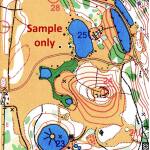
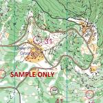
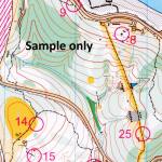
Westerfolds Park orienteering map which includes locations of the permanent controls, legend, map information and showing park features such as paths, buildings, fences, thick bush, clearings, etc. Developed by Orienteering Victoria
Westerfolds Park is a large and conveniently located park of around 120 acres, with facilities such as parking, toilets, shelters, barbecues and picnic tables.
Location: Templestowe, access park entrance via Fitzsimons Lane or Porter Street.
Course & Map information:
- Full-colour A4 map
- Contour Interval 2.5 metres
- Scale 1:7500
- 30 numbered control points marked
- Includes map legend & control descriptions
- Double-sided – map information on reverse side
- Ideal for individuals or groups
**Select the “Map Only” postage option on checkout if you are only purchasing maps**
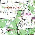
 Darebin Parklands Orienteering Map with permanent control locations
1 × $5.00
Darebin Parklands Orienteering Map with permanent control locations
1 × $5.00 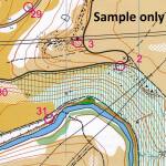 Brimbank Park Orienteering Map with permanent controls
1 × $5.00
Brimbank Park Orienteering Map with permanent controls
1 × $5.00 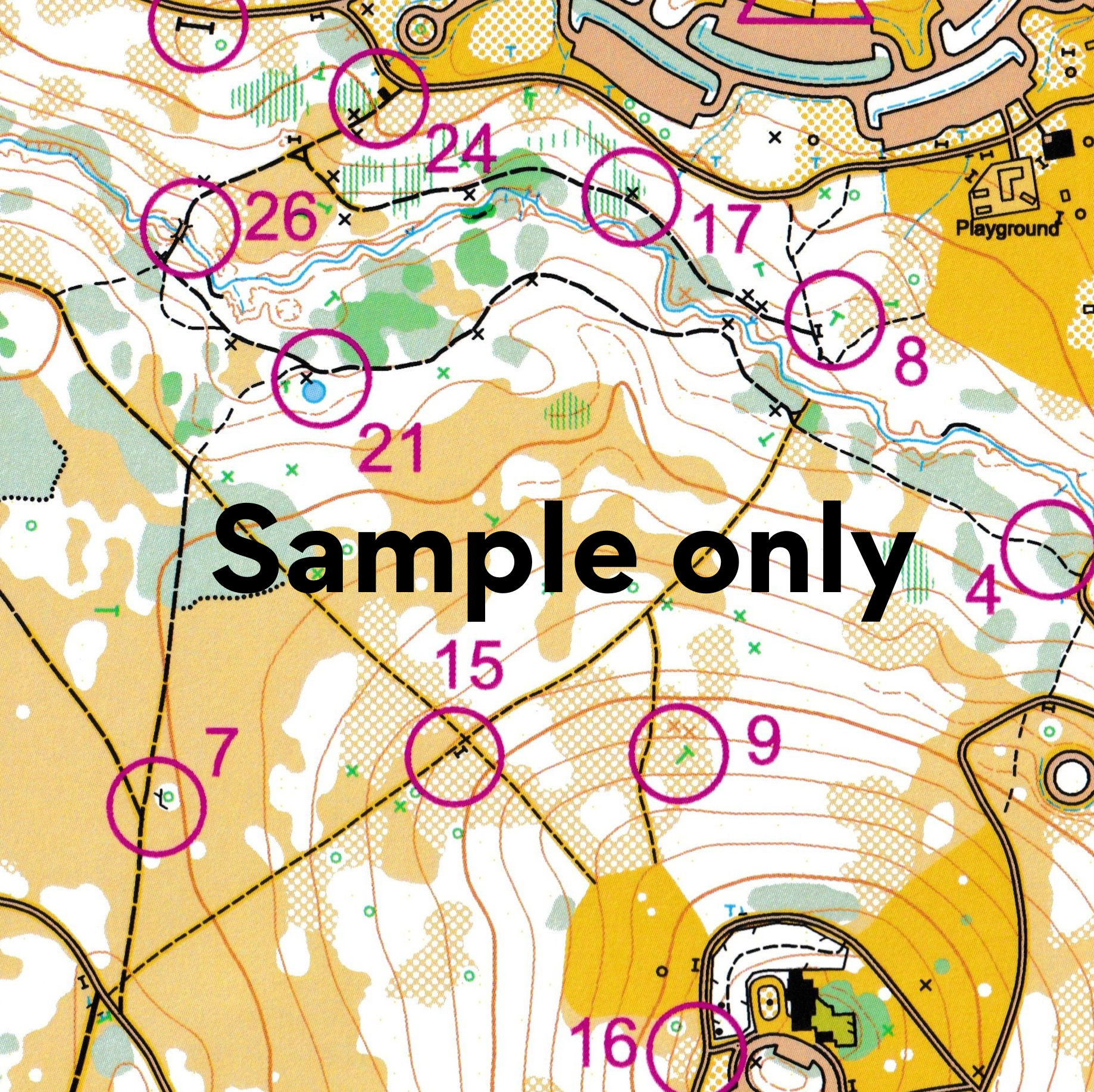
Reviews
There are no reviews yet.